Kaeng Krachan
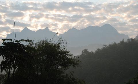
Kaeng Krachan is the largest national park of Thailand, located in the border area with Myanmar. It borders the Tanintharyi Nature Reserve in Myanmar. It is a popular park owing to its location near the tourist town of Hua Hin. The park covers parts of the districts Nong Ya Plong, Kaeng Krachan and Tha Yang of Phetchaburi Province, and of Hua Hin of Prachuap Khiri Khan Province. It consists mainly of rain forests within the eastern slope of the Tenasserim Mountain Range. The highest elevation is at 1200m, the mean elevation of the area is at Two main rivers originate within the park, the Pranburi River and the Phetchaburi River.
The Phetchaburi River is blocked by the Kaeng Krachan dam at the eastern border of the park. The dam creates a lake covering an area of 46.5 km². The dam was built in 1966.
The park was created on June 12 1981 as the 28th national park of Thailand. Originally covering an area of 2,478 km², it was enlarged on December 27, 1984 to include the boundary area between Phetchaburi and Prachuap Khiri Khan provinces.
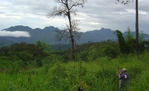
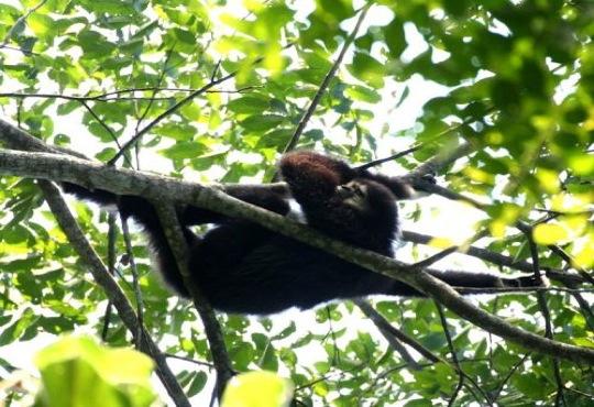
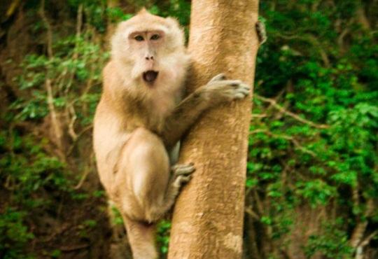
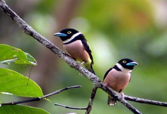
The park has been included in the list of ASEAN Heritage Parks. In 2005 it was also submitted to UNESCO for consideration as a future world heritage site. The forests contain a very diverse collection of tree species, both continental trees like oaks, chestnuts, and maples, but also trees found on the Malay Peninsula like palms.57 species of mammals and more than 400 bird species had been counted in the park.
Tourist Attractions
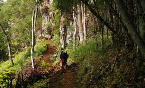
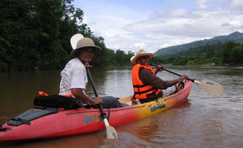
Visitors to the park may enjoy relexing by the lake near the headquarters, touring Pala-u waterfall in Prachuab Khiri Khan province, or taking a boat tour of the lake and the lower Phetchaburi.
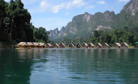
Lake or Kaeng Krachan reservoir
The reservoir covers an area of 46.5 square kilometers with the capacity of 710 million cubic meters of water. There are 20 to 30 islands dotting the water surface. The lake was created by the construction of the earth-dam which block the Phetchaburi river. Visitors can hire boats for sightseeing on the lake.
Panoen Thung mountain
At 1,207 meters above sea level, this is the second highest peak in the park. On the mountain top, grassland (about 500 square meters area) and evergreen forest make a good camping spot, with cool temperatures year-round. A 6+ kilometer hard trail (about 5 to 6 hours) to the peak begins at Panoen Thung at km. marker 30.
Thorthip Waterfall
Thorthip waterfall is 9 level waterfall, located deep in the forest, can be reached by a steep 4 kilometers trail from the end of the Nam Tok Thorthip road (km. marker 36), 55 kilometers from the headquarters. A campground has been built nearby at the confluence with the Phetburi river.
Tharnthip and Hinlad waterfall
These two waterfalls cascade through deep forest. They are located on a tributary of the Pherchaburi river about 5 kilometers upstream of the Thortip confluence, and can be visited as part of a 3 or 4 day loop trekking along with Thortip waterfall.
Pranburi waterfall
This 3 level waterfall is located on the upper Pranburi river, in the valley just south of the steep hill-climb at kilometer 18 - 23 on the Khao Panoen Thung road. It can be visited in one-day hike.
Mae Laliang waterfall
This 3 level waterfall is located 5 kilometers west of the roadside campground at kilometer 27.
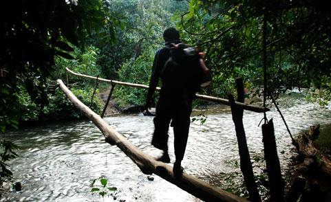
There are several other interesting places including waterfalls, hot springs, caves in the park.
Selected Videos